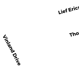
49 VINLAND DRIVE SD
Owner Information
THOMPSON GILBERT D ET AL
1615 Q STREET, NW 104
WASHINGTON, DC 20009


Property Details
49 VINLAND DRIVE SD is classified as a Single Family Residential (Ranch).
The primary structure on this property was built in 1953. There are 880ft2 of built area within this property. There is 880ft2 of residential/living space within this property. This property is listed as having 5 rooms.
49 VINLAND DRIVE SD is valued at $465,000. The land is valued at $312,500 and the structures are valued at $152,500.
The most recent deed for 49 VINLAND DRIVE SD is recorded at the local registrar in Book 9854, Page 181. 49 VINLAND DRIVE SD was last sold on Tuesday, November 16, 1999 for $0.
Assessment data from fiscal year 2022.
Flood Data
This property is partially within the AE Zone (within floodplain). Approximately 0.08 acres (19.75%) of the property is within this zone.
The base flood elevation for this flood zone is 9 feet.
This information is sourced from the FEMA National Flood Hazard Layer. See our full disclamer.
Broadband Internet Providers
| Provider | Type | Bandwidth (mbps) | |
|---|---|---|---|
| VSAT Systems, LLC. | Satellite | 2 | 1 |
| Viasat Inc | Satellite | 35 | 3 |
| Verizon New England Inc. | DSL | 5 | 0 |
| Comcast | Cable | 1000 | 35 |
| T-Mobile | Fixed Wireless | 25 | 3 |
| GCI Communication Corp. | Satellite | 0 | 0 |
| HughesNet | Satellite | 25 | 3 |
Broadband service provider data from December 2020.